

Mozambique: Vila Algarve redevelopment – historic features retained below, hotel built above "to ...
Mozambique: MITADER puts the brakes on large land concessions to make space for better management
12:20 CAT | 25 Aug 2017
DW (File photo)
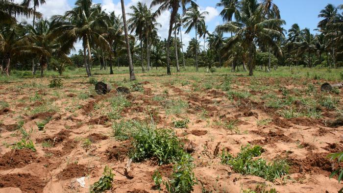
At a time when the government is seeking to reorganise land occupation, MITADER director Celso Correia has told the President Nyusi that in the last two years, his institution has not allocated any parcel of land over 10,000 hectares, “which shows a change of policy towards greater availability and sustainability in the land domain”.
Meanwhile, claims for Land Use and Land Use rights have increased by eight percent. “15,069 DUAT applications were registered for an area of 4,367,792.48 hectares. When compared to the last two years, there has been an increase of 8 and 48 percent in the number of registered applications and the area respectively”, MITADER’s ‘Medium-term balance sheet’ reveals.
The new land management policy comes at a time when Mozambique is hosting major projects involving population movement, and is a better way to ensure full respect for resettlement rights.
Correia says the government is closely monitoring the resettlement process in Palma resulting from the building of a natural gas liquefaction platform by mining consortiums led by Anadarko and ENI.
The aim is to avoid a repetition of the errors in Tete, where the population displaced to Cateme is still in conflict with Vale, and also India’s Jindal coal minerwhich has not still not finalised the resettlement of population.
the MITADER balance sheet document for the 2015/2017 period contains the following information.
Land Information System
The Land Information Management System (SiGIT) was developed and implemented between 2012 and 2013 under the Safe Access to Land program of the Mozambique Challenge Account and is operational in 10 provincial geography and cadastre services in eight municipalities. Of the 500 000 parcels collected and registered under the RDUAT, a total of 401 541 registrations were entered in the SiGIT.
Delimitation of communal lands
One of the focuses of MITADER is respect for customary rights, where land occupation in good faith and/or community lands are looked upon as assets worthy of legal protection. In effect, 488 communities were delimited at the national level, in an area of about 3 409 282.05 hectares, from which certificates were issued for a total of 143 communities in an area of 1 879 646.74 hectares.
Compared with 2016 and 2015, there is an increase of around 95percent. The delimitation aims to ensure the rights of ownership and use of land and other natural resources.
Source: Notícias
Show comments
Also read


Leave a Reply
Be the First to Comment!
You must be logged in to post a comment.
You must be logged in to post a comment.